|
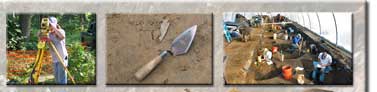
Phase Ia Assessment
Phase Ia Assessment projects are typically conducted to determine the need for Phase I archeological surveys. We incorporate all available GIS data and archival information to synthesize a concise report of potential conditions. Archeological site records, historic plat maps, soil information, aerial imagery, and geomorphological data are just some of the resources we utilize. |